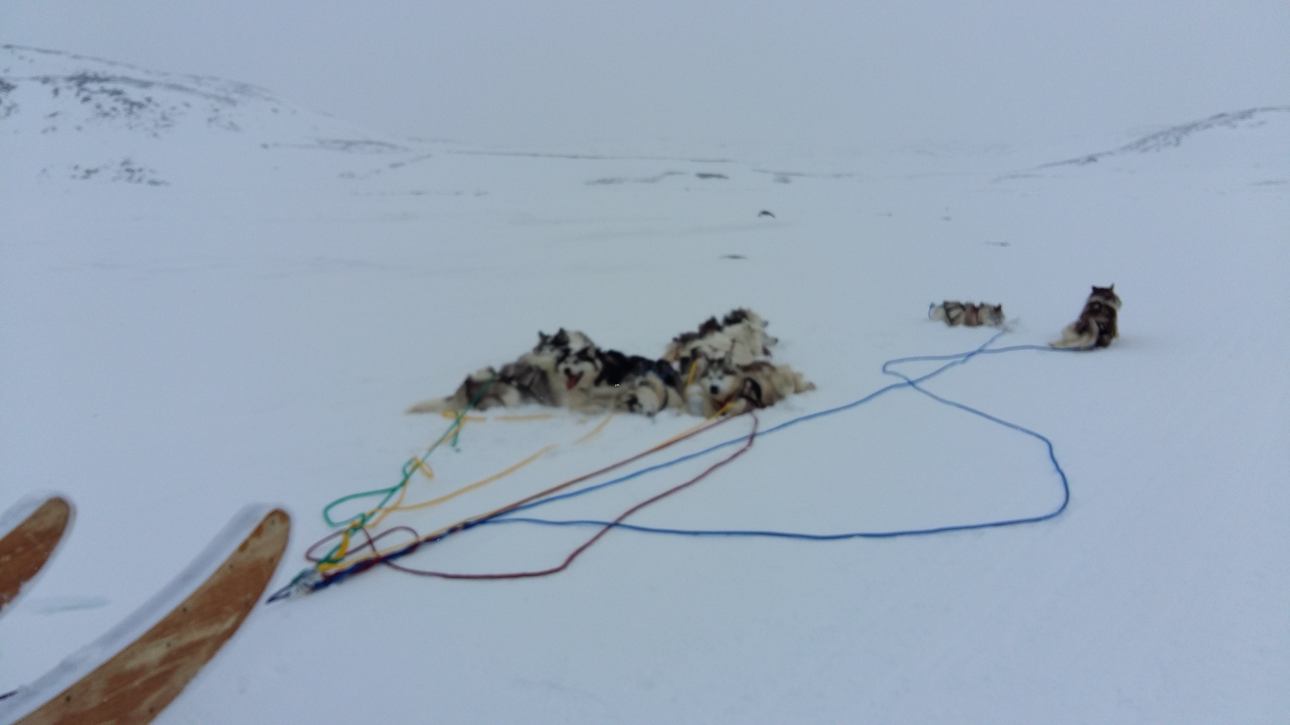
Bob Maher and his wife, Heather Stewart visited their grandchildren in Iqaluit for three weeks in April and had an opportunity to attend a lecture mapping land use in the North. Below he reviews a few books dealing with Community Mapping that he recommends ...
Being in Nunavut
During the first week in Iqaluit, we went to a public lecture by David Pelly on his new book 'Ukkusiksalik. the People's Story'.
Ukkusiksalik is a new national park around Wager Bay however Pelly focuses on the oral tradition of the Kivalliq Inuit of that region.
People lived on the land, and not in 'communities'. In mapping the land use, he shows 'fuzzy boundaries' of use. There are no boundaries or property lines imposed on the landscape. In the words of one of the elders, Mariano Aupilarjuq.
'This is our land, this is our home, which means that it actually ties up our lives and we become one'.
In the last few years, there has been much discussion about the fate of the Franklin expedition. David Woodman wrote a seminal book on 'Unravelling the Franklin Expedition. Inuit Testimony'. 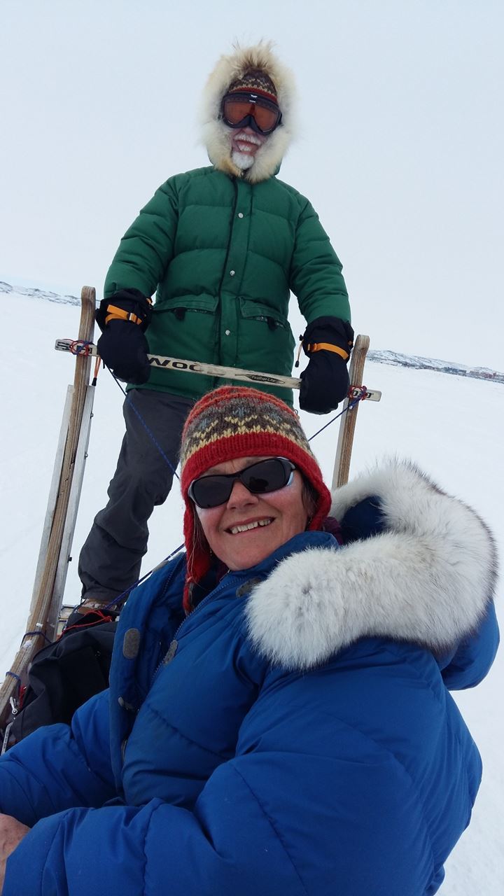
In the second edition (2015), after the rediscovery of the Erebus, he reaffirms the importance of the Inuit oral tradition. Stories that have been passed down through generations since the mid- eighteenth century. Much of this research was conducted by Louie Kamookak, Inuit historian.
In both these books, it is interesting to contemplate the meaning of 'community mapping', and the use of Inuit and European place names. The Inuit names are much more descriptive of the landscape.
First, consider the size of the territory and the low density of human occupancy.
Second, it is important to appreciate that 'community' is a recent Western concept, the activities of family groups was determined by access to the resources on the land and water I.e. caribou, Arctic char, seals. Human movements were related to fluctuations in the fish and wildlife populations. Presence on the land was a function of food availability.
'The first half of the book holds the first person accounts of those interviewed, while in the second half the author weaves collected stories together that are connected by common elements.
Together the two parts of the book show the spirits of the people who travelled through and lived in the area, remain a fundamental part of the landscape, their stories woven in time and space'.
'The elders, the knowledge-holders, I think understood the value of old stories as reflections of where they had come from and who they are'. Pelly, interviewed for Nunatsiaq News (April 22/16)
Footnote
If you are looking for books for grandchildren, check out Inhabit Media at www.inhabitmedia.com For example, The Legend of the Fog. By Qaunaq Mikkigak and Joanne Schwartz, 2011.
References
David F. Pelly. 2016. Ukkusiksalik. The People's Story. Dundurn Press.
David C. Woodman. 2015. Unravelling The Franklin Mystery. Inuit Testimony. MQUP second Edition
About the author
Bob Maher is a Geographer, living in Paradise, Nova Scotia. In the 1980's he designed, developed and delivered a number of intensive computer programming programs at COGS. In 2000, he returned as Senior Research Scientist at the Applied Geomatics Research Group until his retirement in 2011. He has worked closely with the Geomatics industry for over thirty years.
